
Day 36-37: Road to Damascus
The boots of Hostel had a lovely breakfast spread in the morning, si much so that I forgot the two breakfast sandwhiches I bought and had in my room's freezer. Oh well, the trail giveth and taketh. I left and made my was down to Lake Watauga and walked around and to one of the dams that made the lake possible. The wind that was blowing across the lake very nearly blew off my hat as I crossed it. Conversely. The ospreys that made their nests on the maintenance pillars seemed to enjoy surging on the air currents.
After I passed the dam, I made my way up onto the ridge line and into big laurel branch wilderness. Have I mentioned that I love ridge line hiking? I spent all day walking through the entire wilderness and made it out the otherside all on the same ridge line.
When I made it down off that ridge line, I had to cross the Osborn Farm. The trail crosses some private lands where they have gates or fence crossings set up. Osborn farm had both. Leading up to it, there was an accessible trail that lead across a rolling meadow. I ended up chasing a flock of gold finches as I made my way up the trail as they would flutter a few feet ahead as I approached each time. There must have been at least 50 of them looking for bugs and seed in the wildflowers.
Finally, I left the meadow and made my way up the next ridge line to the Double Spring Shelter. The sun was setting and it was getting cold as I set up my tent and made dinner. I made sure my tent was taut and secured as I knew rain was coming in the ealry morning. Too keep my pack dry, I put it up on my camp chair to keep it off the ground.
I was awoken by thunder at about 3am, which the forecast didn't call for. Thanksfully the site was tucked into the stirrup, so I wasn't too worried about a lighting strike. Still, there were a couple flashbooms that came back to back, signaling nearby strikes. I immediately started counting the time between the flashes of light and the crashes of thunder, ~5 seconds for each mile the sound had to travel from the strike. Fortunately most of the storm was a good 1.5-3 miles away for most of its duration. By the time I was counting past 20 seconds between flash and rumble, I was able yo drift off to sleep as the rain tap danced on my tent.
By the time I woke up on the morning, there was just a gentle, but steady drizzle. I was able to get up and pack up my gear will under the cover of my tent before I dashed out to get my bear canister before retreating to my shelter. Zipping my rain fly down, I ate my breakfast as the rain continued to ebb ,but it was still going as I finished. So I ended up packing up a wet tent in the rain, tying it to the top of my pack instead of inside as usuall and made my way up the trail.
The rain ended pretty quickly as I made my way up the ridge line past Locust Pole Knob and double spring gap. I was met with some trail magic at McQueen Gap and enjoyed a hot chicken sandwhich. This held me until I made it to the Abingdon Shelter for lunch. This was also where I rung out my socks and switched to a dry pair before heading down the mountian towards damascus.
Along the way, I passed the Tennessee/Virginia border and made my way into the Washington and Jefferson national forests. 3 states down, 11 more to go. Virginia is actually the longest state along the trail, making up nearly a quarter of the total milage and I am looking forward to its section. Being back in my home state did amazing for my spirits and morale. The trail seemed nicer and kinder as I made my way down into Damascus. I heard from another hiker this is because the VA trail groups compete with each other. We shall see how long the nice sections last.
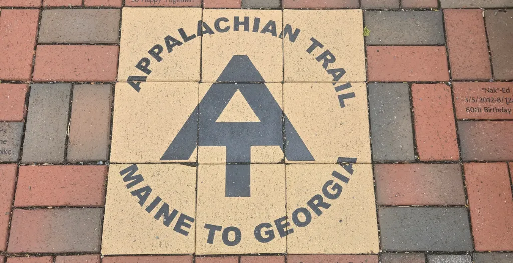
As I walked off the mountain and into Dmascus, I saw why it was called trail town usa. The trail goes through the center of town along the Virginia Creeper Trail. Unfortunately. Much of the Va Creeper Trail was closed for repairs from Hurricane Helene. They were doing construction on the trial bridges that lead through the town, so I had to settle for some road walking as I made my way to the Old Mill Inn.
The Old Mill Inn was built in the mid 1800s as a grist mill, daming the river to power its grindstones. It had gone through several iterations in its life before becoming the tavern that it is today. After dropping off my pack and cleaning up in my room, I went down for dinner in the tavern. I enjoyed a steak eith sweet potato fries and fried pickles. Along with this I had two beers that were made by breweries along the trail and did a bourbon flight of a local distillery. Tomorrow was a zero day and I had to celebrate being back in my state of birth and one step closer to my journey home.


Summary of Progress:
Miles Completed: 42.6
Total Miles Completed: 471.5
Location: Tennessee
Weather: Thunderstorms to sunshine