Day 45-48: Path pushed past puddles to pause in Pearisburg
I got dropped off the next morning back at the Partnership shelter just after 8:30 am. Leaving marion took me up Glade Mountain with some great views. Coming down the mountain took me to the settlers of the west museum, a field trip that 4th graders at my school will sometimes take. They have an old school set up with other buildings showing what life was like for different peoples during westward expansion. While they were closed, I took advantage of ye old privy, though to be honest, it was nicer than some I had seen on the trail.
I then made my across the valley, crossing the Holston River and making my way to I-81. I had taken I-81 on my way down to Georgia to start the trail, so this crossing was a milestone for me. I celebrated by getting a slushee from the gas station at the corner and passed under the over pass to continue back into the woods.
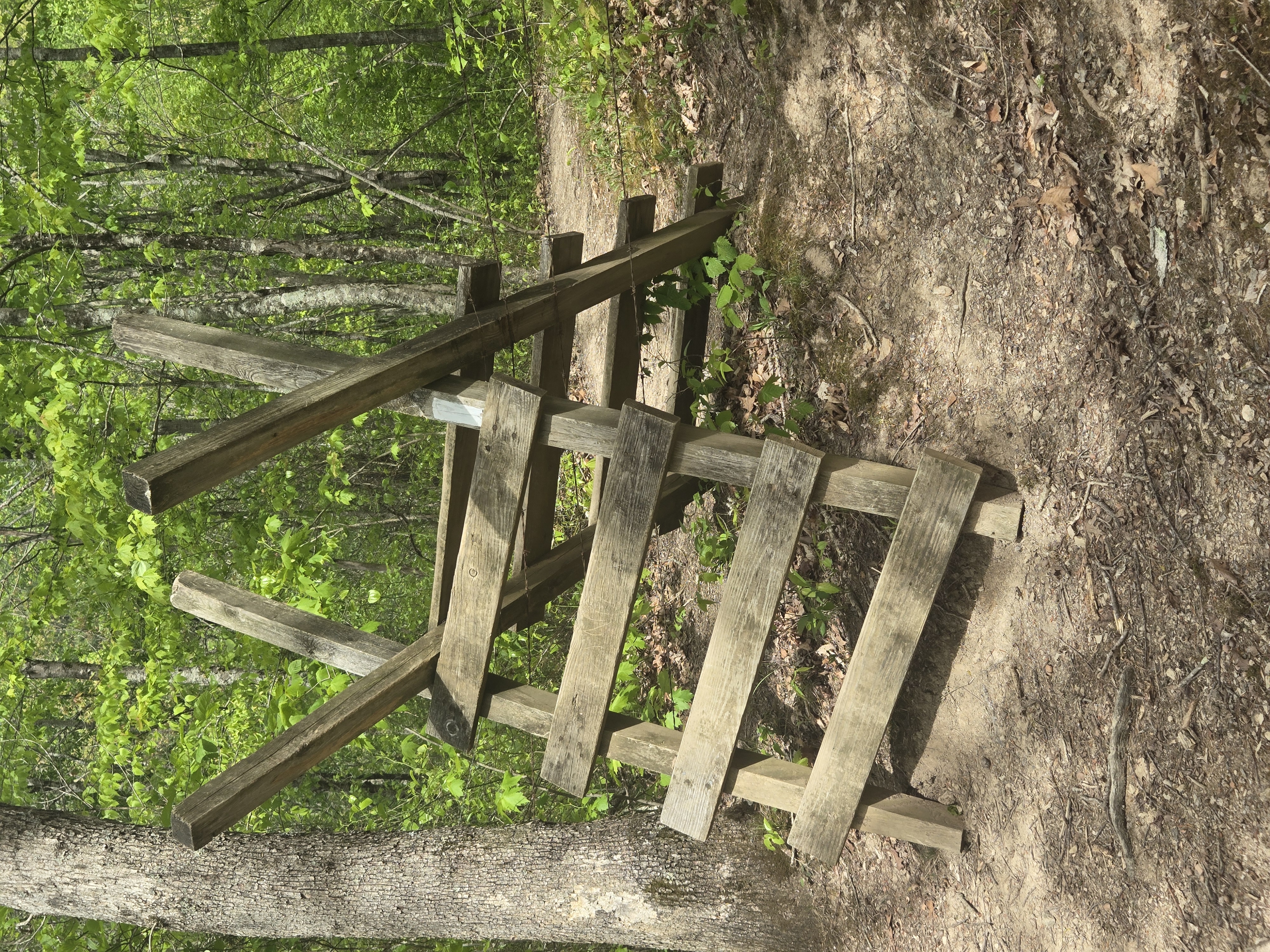
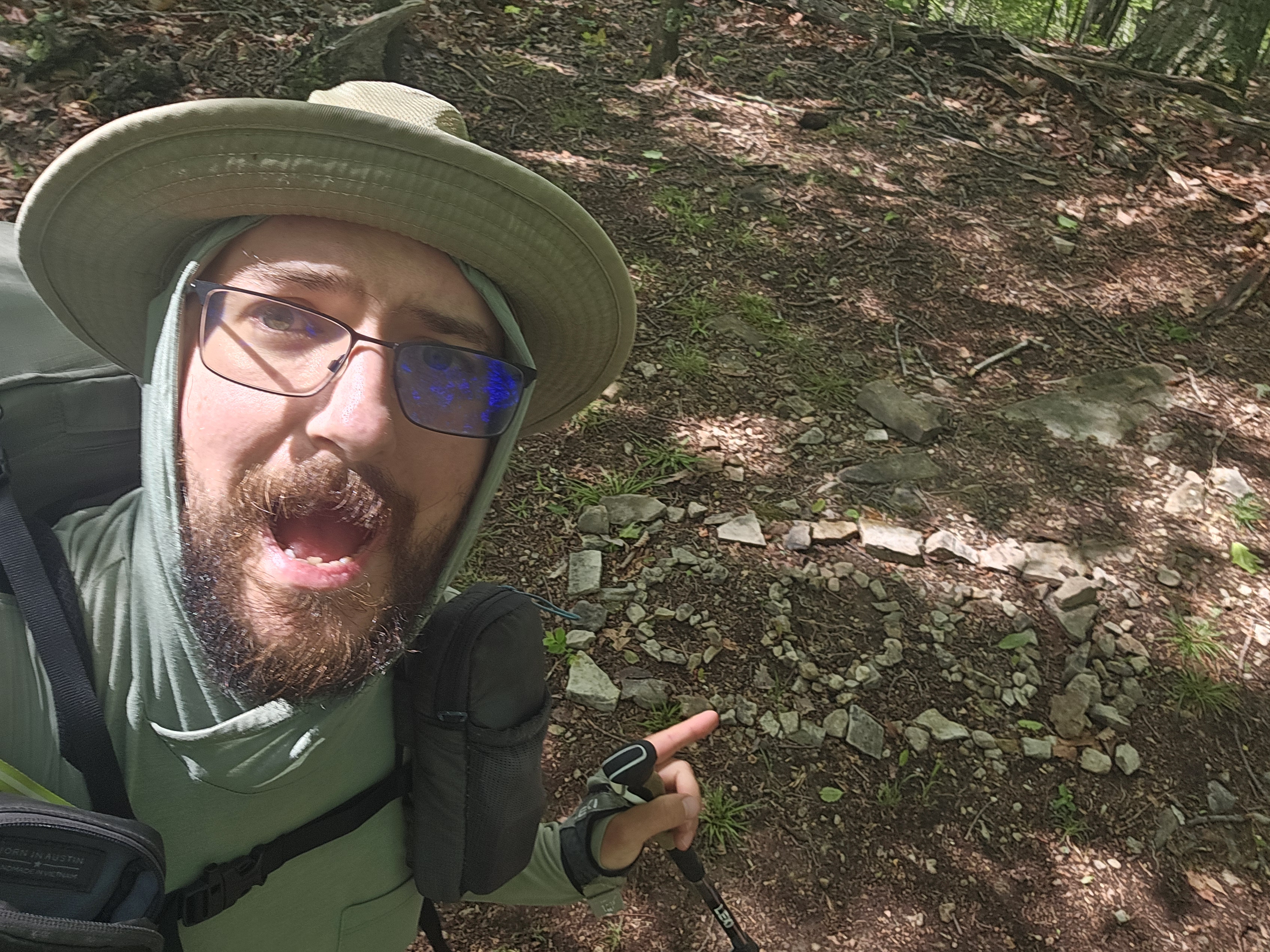
The entire Appalachian trail makes its was across national parks and forest, through both public and private lands. At some of the crossings into private lands, stiles are set up to navigate up and over barbed wire fences that mark the borders. (See pic below). I had to cross several of these as I made my way the Davis Path Campsite. The Davis family seemed to have donated this section of the trail and their family cemetery is a historical attraction just off the trail.
I decided to stop at the Davis site for the night cause of my heavy pack from resupply and the fact that this was the last site with a privy for the next 12 miles and I had already walked over 14 miles. I find that its always good tonhave a privy after you take a zero day as your body catches up to the food that you gorge yourself on while in town. Hiking on the trail is a lot of feast and famine.
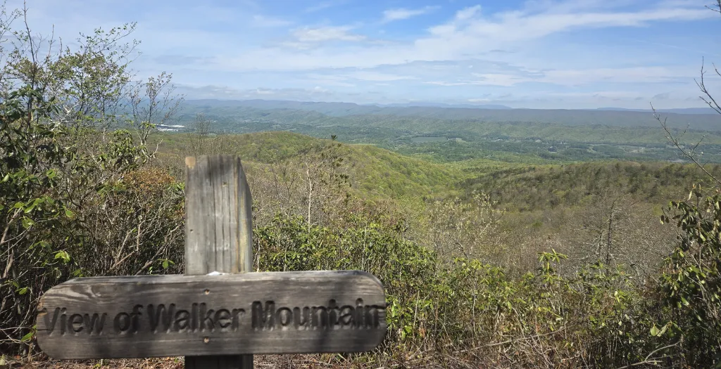
The next day, day 2, I made my way up and down Walker Mountain, over more fence stiles, and the Holston River again before making my way up Brushy mountain. Afterwards I headed to Knot Maul Branch Shelter for lunch. There I met two ridge runners who we out cataloging more Hurrican Helene damage along with other trail maintance notes. I thanked them for their efforts before heading past Lynn Camp Mountain. Along the way to and from the mountain, I had to cross Lynn Camp Creek. The north side originally had a bridge, but had been washed out, so I was preparing myself to ford knee deep water. Thats why I was grateful that I had been able to get some camp shoes with a decent tred while I was in Marion. Fortunately, the creek was shallow enough for my to be able to walk across stones without having to chabge out of my shoes. The area still had a lot of storm damage and I am sure Helene didnt help, so I was not surprised that the bridge hadn't been repaired yet.
After wards I made my way up 2000 feet of elevation to Chestnut Knob shelter. Throughout the day I had been going up and down about 500 ft of elevation as I went over ridge lines, but this was the biggest elevation since Roan Mountain in TN. It definitely kicked my butt, so I stopped about 1500 ft up at the last water source before the shelter.
The water source was a spring that fed into a pond. It was a great place to stop and enjoy dinner with wonderful views as the clouds came in for the rain the next morning. I decided to stop and have dinner here because I didnt want to have to carry any extra water up the rest of the mountain. It was also good to gove my legs a rest. So by the time I was done they felt great as I hike the 2 more miles to the shelter.
The views from the top were amazing. The shelter ways pretty full with hikers becuae of the coming rain when I came in, so i decided to walk a little way down into some tree cover for the night so I would get a good night's sleep.
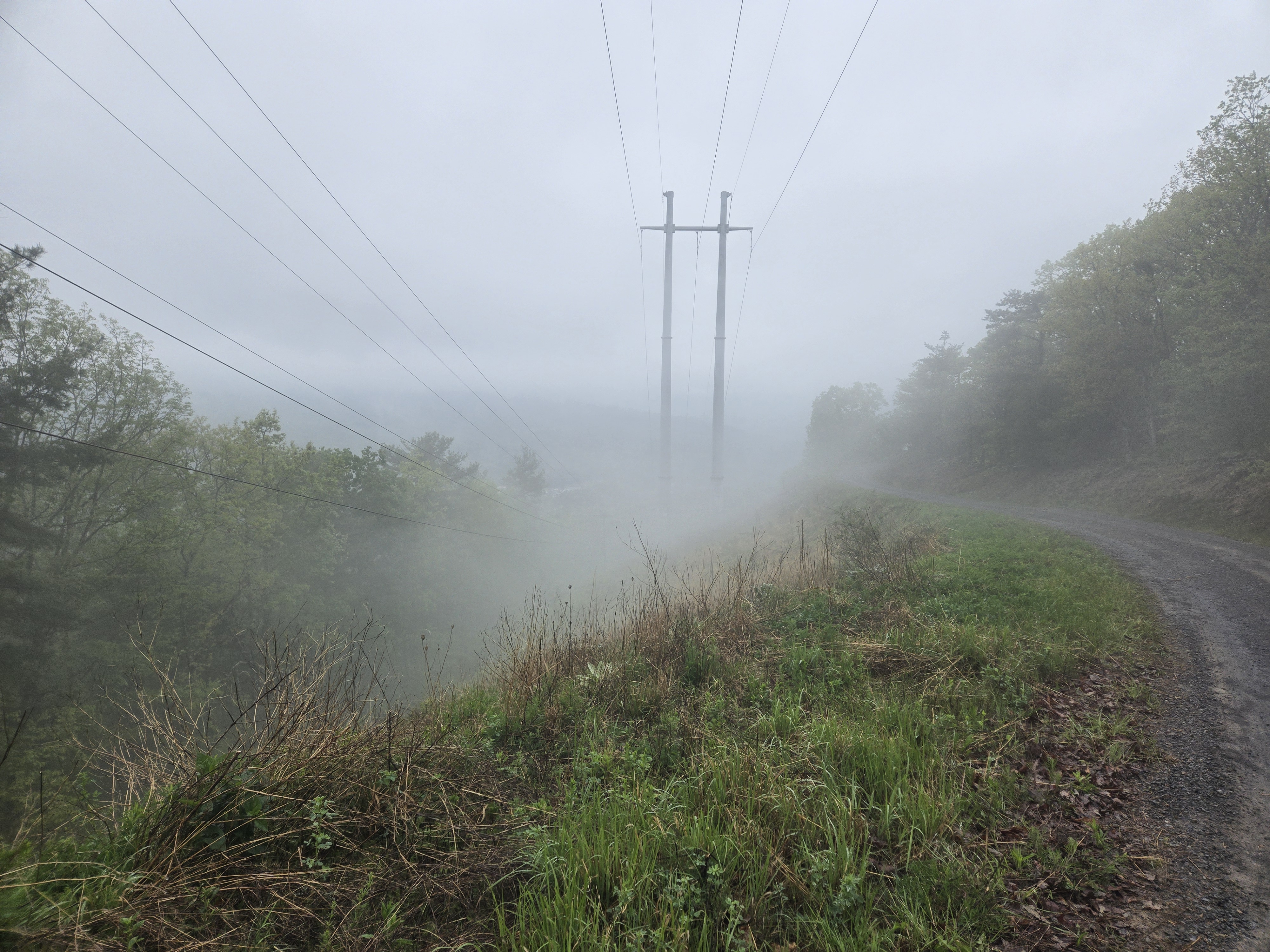
The next morning I awoke to the sound of drip drop dancing on my tent. I back up and ate breakfast inside its cover before packing up and heading out in the rain. I made my way down the mountain and stopped at Jenkins Shelter to have a lunch. I decided to have my hot meal for the day, usally reserved for dinner, because I was wet and cold. While my water was heating up, I run out my socks and let my feet air out under the protect of the shelter roof. Two other hikers came through and had lunch with me before they headed out as I waited for my lunch to finish. After eating I slipped my soggy socks on and jumped back on the trail.
With thunderstorms in the forecast for thebafternoon, I decided to stop at the Laurel Creek Campsite so I didnt grt caught up on a ridge during the storm. Unfortunately, there was just rain later in the evening with no thunder, so I could have made it further. Though I would rather be safe, I had some miles to make up tomorrow.
The next day, day 3, I made my way back up the ridgeline and continued north. It started drizzling as I made my way upbthe ridge line, but not too badly. Along the way I stopped at a local spot that caters to hikers just off the trail. I grabbed a burger and some tots before returning to the ridge.
I passed at Helvy's Mill Shelter not stopping for lunch just I had just eaten, instead I continued along the ridge, stopping aroun 2 to have a second lunch. I had some more miles to make up, so I continued past Jenny Knob Shelter after refilling my water. I made my way down into Lickskiller hollow and over another ridge line before I made it to Kimberling Creek. I had just done 25 miles in one day, my record. It was about 730 ehen I got into camp, so I ended up eating in the dark before collapsing into my bed.
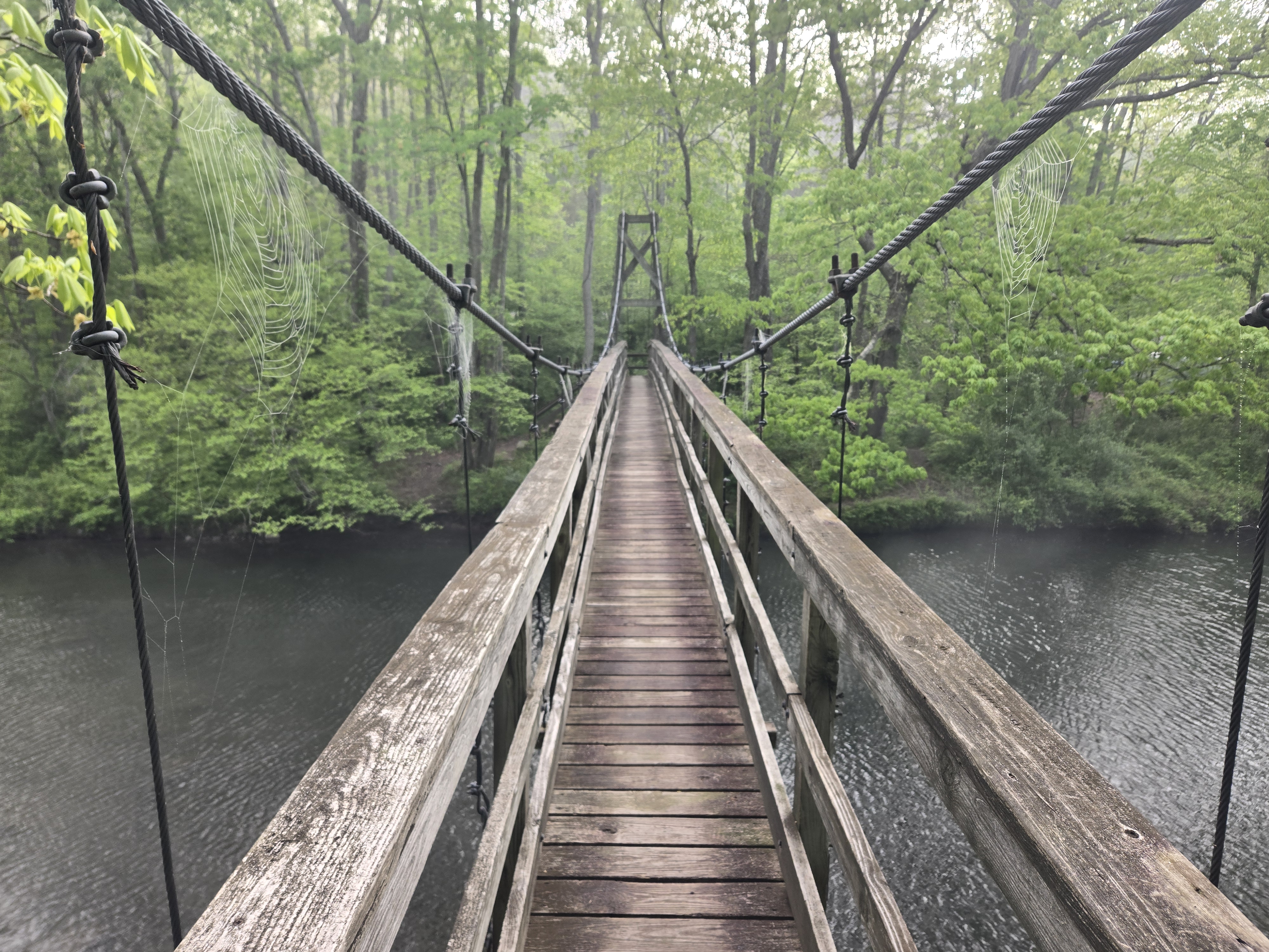
The next day, day 4, I planned to make it to Pearisburg, but thebmountains and my body had other plans. After crossing the suspension foot bridge in the morning, I followed the Dismal Creek Valley. I had about 1500ft of elevation to get out of the valley and it wiped me out. I decided I needed a zero day and got off at Sugar run gap and made my way into Pearisburg via shuttle. More on that in our next episode.
Summary of Progress:
Miles Completed: 91.3
Total Miles Completed: 625.7
Location: Virginia
Weather: Wet